




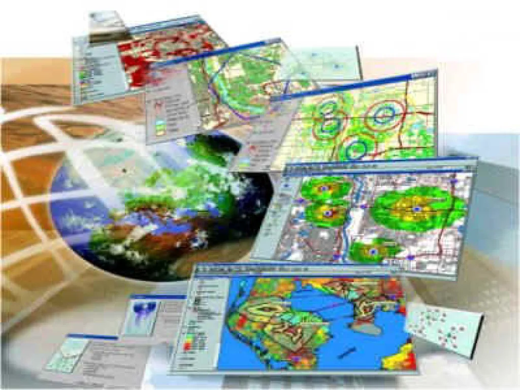
Geographic Information Systems is the most voluminous among information systems in terms of scope, where spatial information is also considered. Geographic Information Systems; It covers the processes of transferring all kinds of data related to the earth to the computer environment by establishing relationships with space, storing, classifying, comparing with each other, analyzing, updating these data through special programs used, and visualizing them as maps, graphics and tables as desired. The most important feature that distinguishes the Geographic Information System from other database systems is that it stores all data according to the space they belong to on the earth and allows various spatial correlations, that is, various analyzes can be made between them.
Research shows that Geographic Information Systems are actively used by 21 different user groups such as Business world, Economic development, Education management, Engineering, Facility management, Infrastructure management, Logistic distribution management, Mining scanning/extraction, Defense, Oil exploration, Political management, Public health, Public safety, Mass transportation, Press and media, Real estate information management, Renewable resource management, Research, Measurement, mapping and data conversion, Regional and city planning.
The foundations of Geographic Information Systems consist of fields such as mathematics, statistics, databases, topography, photogrammetry, remote sensing, image processing, computer graphics, computer geometry, cartography and visualization.
The aim of the Geographic Information System program is to train staff equipped with analytical thinking, problem solving and decision making skills on geographic information technologies that are effective in the decision making process of public and private institutions, and the basic principles, strategies and techniques of spatial data management. The program aims to cover the theoretical and practical teachings of the study area and to train students in Remote Sensing, Geographic Information Systems areas, and to equip students with the ability to conduct research in these areas.
Graduates who successfully complete the Geographic Information Systems program; They can work in the units that primarily produce spatial data of institutions and organizations working in the fields of mapping, environment, technical infrastructure applications, underground and aboveground resource management applications, forestry applications, agricultural applications, maritime and coastal management, defense applications in the public and private sector, and especially local administrations. They can have the opportunity to work in the Geographic Information Systems units and information processing units that have started to be established in many public institutions and organizations in our country. They also have the opportunity to work in software and tool companies related to Geographic Information Systems.
Departments for Vertical Transfer:
Graduates of the Geographic Information Systems program have the right to continue a bachelor's program related to their graduation field if they are successful in the Vertical Transfer Exam (DGS) conducted by OSYM.
- Geomatics Engineering
- Map Engineering