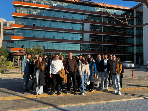
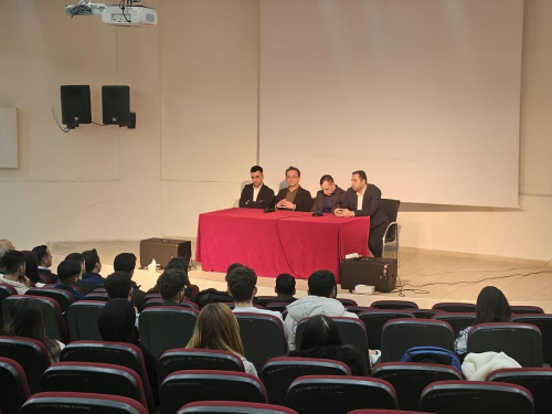
In the Geographic Information Systems (GIS) Program, training on remote sensing applications with a drone was conducted within the scope of “Remote Sensing Applications”.
Remote Sensing (RS) is considered one of the most important ways to obtain spatial data. Remote sensing technologies are utilized in spatial-based research projects such as agriculture, forestry, environment, disaster and water management, defense, intelligence, management of underground and surface resources, and urban planning.
The journey of RS, which started with mounting cameras on balloons, kites, and even pigeons to capture aerial images, continues to develop and grow. In addition to satellite and aircraft platforms, the recent use of Unmanned Aerial Vehicles (UAV) and drones has diversified and facilitated methods of obtaining data in remote sensing.
Students of the GIS Program participated in the training organized by Dr. Öğretim Üyesi Hasan Hüseyin AKSU. Ekrem ALGÜL supported the training by participating with his drone.
Diğer Haberler
