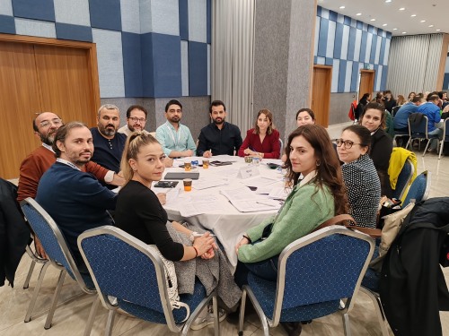
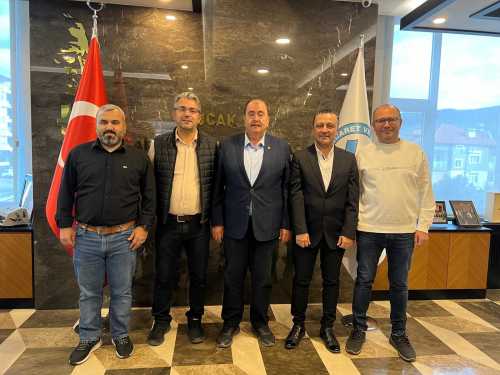
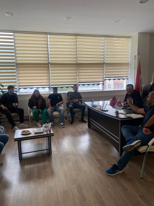
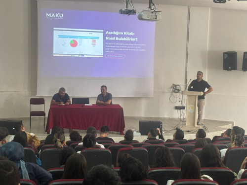
Bucak Kumar Plateau, a technical trip was made to Çatal area and Musullu area location.
Yapılış Tarihi | 25 October 2024, Friday
Department of Architecture and Urban Planning Geographic Information Systems Program I and II. Year students organized a technical trip to Bucak Kumar Plateau, Çatal area, and Musulu area under the guidance of Assoc. Prof. Dr. Kerem Hepdeniz and Lecturer Dr. Ayşe Konu Eskitoğlu within the scope of Field Applications in GIS I and Map Reading and GPS Usage courses. During the technical trip, students were engaged in practices such as finding directions on the map, determining the projection system, using GPS, reading coordinates, locating on the map, and finding the coordinates read on the GPS in the field.


