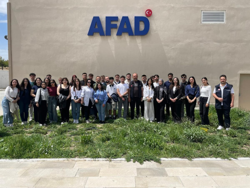
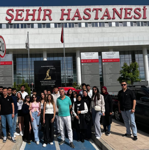
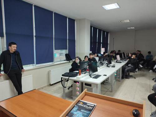
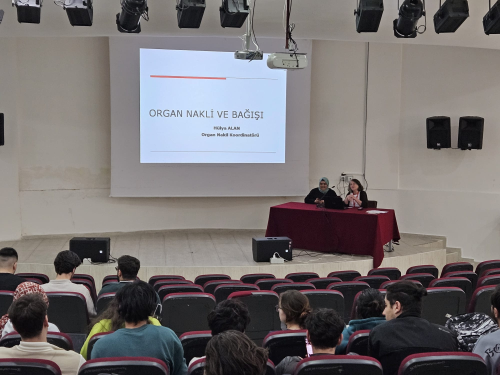
Our school's Geographic Information Systems Program Students have conducted a technical visit to Burdur Disaster and Emergency Management Authority (AFAD).
Yayın Tarihi | 13 May 2025, Tuesday
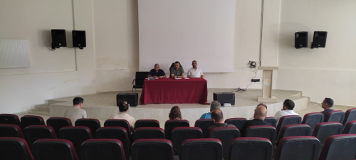
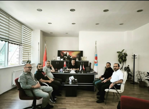
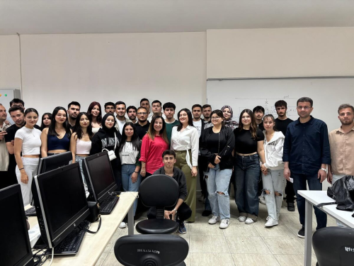
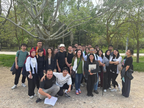
Under the direction of Assoc. Prof. Dr. Kerem Hepdeniz and Lecturer Dr. Ayşe Konu Eskitoğlu, on 09.05.2025, a technical trip was conducted to the Burdur Disaster and Emergency Management Directorate (AFAD) with the students of the Geographic Information Systems Program as part of the courses “Disasters in Turkey” and “Planning and Management Information with GIS” according to the determined plan.
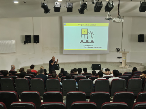
During the technical trip, students were informed about what needs to be done before, during, and after a disaster as part of Disaster Awareness training. Additionally, detailed information was provided on how Address Information Systems are used in disaster management, and the importance of databases and spatial information in responding to incidents. The contribution of Geographic Information Systems to decision support mechanisms during a disaster, topics such as risk analysis, mapping, and logistics planning were explained with examples.
This trip expanded the professional vision of the students; it provided them with practical knowledge about systems where disaster awareness and GIS work in an integrated manner. Students had the opportunity to develop their professional competencies by observing on-site how the theoretical knowledge they acquired in field applications is used in critical areas such as disaster management.

